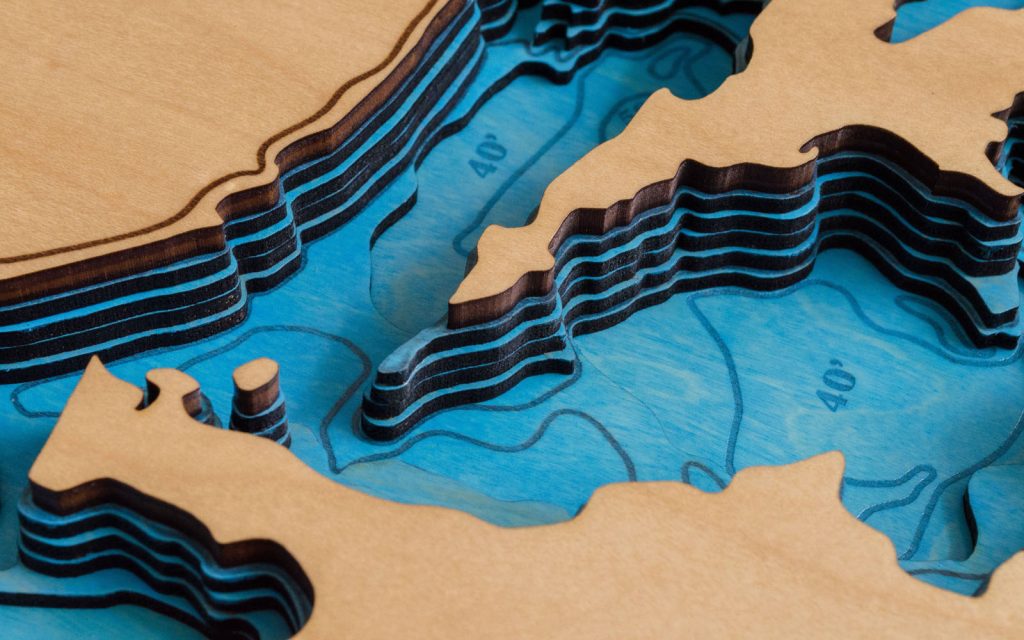
There’s been a surprising amount of interest in the plans for Lake Winnipesaukee maps (shown above). We made plans like this for many more lakes and would like to know if a dedicated purchase page is worth setting up.
- Please let me know if you would like to purchase these or any other lake files at scott@mechanicallumber.com
- What format are they in? Native CorelDraw + pdf + svg
- How are they delivered? Download link in email immediately after purchase
- Can I use any laser cutter? Yes, these files can be used on any machine
- Can I use a CNC or drag-knife machine? Yes, while these are currently optimized for laser you can definitely make maps in other ways. (extra effort required)
- What is the default size? 18 x 24 inch or 12 x 18 inch
